
Faidhle:Dardanelles map.png
Meud an ro-sheallaidh seo: 624 × 600 piogsail. Dùmhlachdan-breacaidh eile: 250 × 240 piogsail | 500 × 480 piogsail | 1,020 × 980 piogsail.
Am faidhle tùsail (1,020 × 980 pixel, meud an fhaidhle: 219 KB, seòrsa MIME: image/png)
Gearr-chunntas
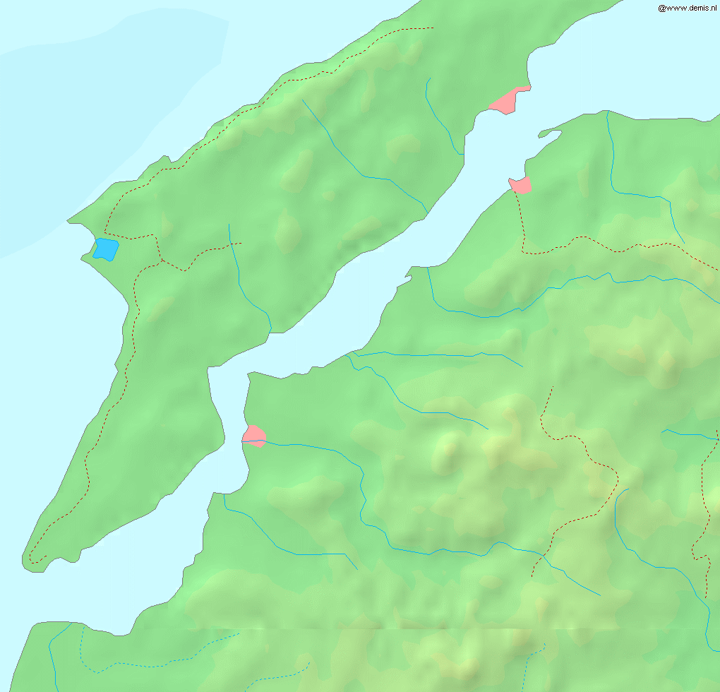
Map of the w:en:Dardanelles strait.
Bounding box West 26.15°, South 39.95°, East 26.9°, North 40.5°.
This image is in the public domain because it came from the site https://www.demis.nl/products/web-map-server/examples/ and was released by the copyright holder. Permission is granted to copy, distribute and/or modify this map since it is based on free of copyright images from: www.demis.nl. See also approval email on de.wp and its clarification.
|
| This work has been released into the public domain by its copyright holder, www.demis.nl. This applies worldwide. In some countries this may not be legally possible; if so: www.demis.nl grants anyone the right to use this work for any purpose, without any conditions, unless such conditions are required by law.
|
Ceadachadh
| I, the copyright holder of this work, release this work into the public domain. This applies worldwide. In some countries this may not be legally possible; if so: I grant anyone the right to use this work for any purpose, without any conditions, unless such conditions are required by law. |
Eachdraidh an fhaidhle
Briog air ceann-là/àm gus am faidhle a shealltainn mar a nochd e aig an àm sin.
| Ceann-là/Àm | Dealbhag | Meud | Cleachdaiche | Beachd | |
|---|---|---|---|---|---|
| làithreach | 17:53, 6 dhen t-Sultain 2005 | | 1,020 × 980 (219 KB) | Mats Halldin~commonswiki | Map of the w:en:Dardanelles strait. Bounding box West 26.15°, South 39.95°, East 26.9°, North 40.5°. {{demis-pd}} category:maps of Turkey |
Cleachdadh an fhaidhle
Chan eil duilleag sam bith a' ceangal an-seo.
Cleachdadh fhaidhlichean uile-choitcheann
Tha na uicidhean eile a leanas a’ cleachdadh an fhaidhle seo
- Cleachdadh air eo.wikipedia.org
- Cleachdadh air fr.wikipedia.org
- Cleachdadh air sv.wikipedia.org