
Faidhle:Approaching St Kitts and Nevis - southern tip of St. Kitts - panoramio.jpg

Meud an ro-sheallaidh seo: 800 × 496 piogsail. Dùmhlachdan-breacaidh eile: 320 × 199 piogsail | 640 × 397 piogsail | 1,024 × 635 piogsail | 1,280 × 794 piogsail | 2,560 × 1,589 piogsail | 4,203 × 2,608 piogsail.
Am faidhle tùsail (4,203 × 2,608 pixel, meud an fhaidhle: 2.22 MB, seòrsa MIME: image/jpeg)
Gearr-chunntas
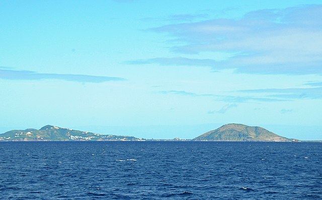
| Tuairisgeul | Approaching St Kitts and Nevis - southern tip of St. Kitts | ||
| Ceann-là | Taken on 18 dhen Dùbhlachd 2011 | ||
| Tùs | https://web.archive.org/web/20161020151306/http://www.panoramio.com/photo/64143708 | ||
| Ùghdar | David Broad | ||
| Cead (Ag ath-chleachdadh an fhaidhle seo) |
This file is licensed under the Creative Commons Attribution 3.0 Unported license. Urram: David Broad
|
||
| Tags (from Panoramio photo page) | _Alpha Group, Caribbean, St. Kitts |
| Camera location | | View this and other nearby images on: OpenStreetMap |
|---|
Eachdraidh an fhaidhle
Briog air ceann-là/àm gus am faidhle a shealltainn mar a nochd e aig an àm sin.
| Ceann-là/Àm | Dealbhag | Meud | Cleachdaiche | Beachd | |
|---|---|---|---|---|---|
| làithreach | 21:36, 21 dhen Dùbhlachd 2016 | | 4,203 × 2,608 (2.22 MB) | Panoramio upload bot | == {{int:filedesc}} == {{Information |description=Approaching St Kitts and Nevis - southern tip of St. Kitts |date={{Taken on|2011-12-18}} |source=http://www.panoramio.com/photo/64143708 |author=[http://www.panoramio.com/user/2134453?with_photo_id=6414... |
Cleachdadh an fhaidhle
Tha ceangal ris an fhaidhle seo san duilleag a leanas:
Cleachdadh fhaidhlichean uile-choitcheann
Tha na uicidhean eile a leanas a’ cleachdadh an fhaidhle seo
- Cleachdadh air arz.wikipedia.org
- Cleachdadh air ast.wikipedia.org
- Cleachdadh air ca.wikipedia.org
- Cleachdadh air cy.wikipedia.org
- Cleachdadh air dag.wikipedia.org
- Cleachdadh air de.wikivoyage.org
- Cleachdadh air diq.wikipedia.org
- Cleachdadh air eo.wikipedia.org
- Cleachdadh air fr.wikivoyage.org
- Cleachdadh air ga.wikipedia.org
- Cleachdadh air gl.wikipedia.org
- Cleachdadh air ha.wikipedia.org
- Cleachdadh air hyw.wikipedia.org
- Cleachdadh air ia.wikipedia.org
- Cleachdadh air kab.wikipedia.org
- Cleachdadh air ko.wikipedia.org
- Cleachdadh air lb.wikipedia.org
- Cleachdadh air pap.wikipedia.org
- Cleachdadh air ru.wikinews.org
- Cleachdadh air tg.wikipedia.org
- Cleachdadh air tt.wikipedia.org
- Cleachdadh air vec.wikipedia.org
- Cleachdadh air www.wikidata.org