
Faidhle:Algeria Wilayas-blank.svg

Size of this PNG preview of this SVG file: 508 × 500 piogsail. Dùmhlachdan-breacaidh eile: 244 × 240 piogsail | 488 × 480 piogsail | 780 × 768 piogsail | 1,040 × 1,024 piogsail | 2,081 × 2,048 piogsail.
Am faidhle tùsail (Faidhle SVG, a-rèir ainm 508 × 500 pixel, meud faidhle: 70 KB)
Gearr-chunntas
| Tuairisgeul |
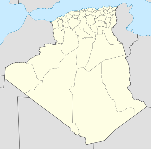
English: Blank map of Algerians Wilayas (administratives provinces), as in 2009. Each Wilaya in the file is an independent polygon.
Français : Carte vierge des Wilayas d'Algérie (provinces administratives), telles qu'en 2009. Chaque Wilaya dans le fichier est un polygone indépendant. Lambert conformal conic projection, WGS84 datum |
| Ceann-là | 2007-11-05, updated 2009-11 |
| Tùs |
M’ obair fhèin
|
| Ùghdar | Sémhur ·✉·✍·, updates by Sting |
| Other versions | Derivative works of this file: Algeria Oran Area Wilayas.png |
This W3C-unspecified vector image was created with Inkscape .
Ceadachadh
I, the copyright holder of this work, hereby publish it under the following licenses:

|
Permission is granted to copy, distribute and/or modify this document under the terms of the GNU Free Documentation License, Version 1.2 or any later version published by the Free Software Foundation; with no Invariant Sections, no Front-Cover Texts, and no Back-Cover Texts. A copy of the license is included in the section entitled GNU Free Documentation License. |
This file is licensed under the Creative Commons Attribution-Share Alike 3.0 Unported, 2.5 Generic, 2.0 Generic and 1.0 Generic license.
- Faodaidh tu:
- a cho-roinneadh – lethbhreac a dhèanamh dhen obair, a sgaoileadh is a tar-chur
- ath-mheasgachadh – an obair atharrachadh
- Fo bhuaidh nan cumhaichean a leanas:
- urram – Feumaidh tu iomradh a thoirt air an ùghdar no an neach aig a bheil cead air, dìreach mar a thoill iad (ach chan ann air dòigh a chuireas an sùilean dhaoine gu bheil iad ag aontachadh riut no ri d’ obair).
- co-roinneadh co-ionnann – Ma dh’atharraicheas tu no ma leasaicheas tu an obair seo, ’s urrainn an tionndadh ùr fon cheadachas seo no fo cheadachas coltach ris.
’S urrainn dhut an ceadachas as fhearr leat a thaghadh.
Eachdraidh an fhaidhle
Briog air ceann-là/àm gus am faidhle a shealltainn mar a nochd e aig an àm sin.
| Ceann-là/Àm | Dealbhag | Meud | Cleachdaiche | Beachd | |
|---|---|---|---|---|---|
| làithreach | 20:37, 18 dhen t-Samhain 2009 | | 508 × 500 (70 KB) | Sting | Grey standard color for other countries |
| 12:51, 18 dhen t-Samhain 2009 |  | 508 × 500 (70 KB) | Sting | Updated Wilayas boundaries ; new standard colors | |
| 09:10, 9 dhen t-Samhain 2007 |  | 478 × 500 (67 KB) | Sémhur | New version, smaller and more centered on Algeria | |
| 12:31, 5 dhen t-Samhain 2007 |  | 1,500 × 1,500 (189 KB) | Sémhur | {{Information |Description= {{en}} Blank map of Algerians Wilayas (administratives provinces). {{fr}} Carte muette des Wilayas d'Algérie (provinces administratives). |Source=Own work, from DZ-01.svg by Escondites, |
Cleachdadh an fhaidhle
Chan eil duilleag sam bith a' ceangal an-seo.
Cleachdadh fhaidhlichean uile-choitcheann
Tha na uicidhean eile a leanas a’ cleachdadh an fhaidhle seo
- Cleachdadh air ar.wikipedia.org
- عبد الرحمن الأخضري
- قادرية
- بلديات ولاية الجزائر
- زاوية مريدية
- الزاوية الدرقاوية
- دوائر وبلديات ولاية تلمسان
- بلديات ولاية سطيف
- بلديات ولاية الأغواط
- قائمة مساجد الجزائر
- الولايات المنتدبة في الجزائر
- مسجد أغادير
- قائمة بلديات ولاية المدية
- الجامع الكبير (الجزائر)
- بلديات ولاية عنابة
- دائرة غليزان
- وزارة الشؤون الدينية والأوقاف (الجزائر)
- المجلس العلمي للإفتاء (الجزائر)
- وزارة العدل (الجزائر)
- محمد خلفي
- مسجد عبد الحميد بن باديس (وهران)
- المجلس الإسلامي الأعلى (الجزائر)
- مستخدم:Aboulouei1/مقالات
- المحكمة العليا (الجزائر)
- مجلس قضاء سكيكدة
- الطريق الوطني رقم 11 (الجزائر)
- المجلس الدستوري (الجزائر)
- مديرية الشؤون الدينية والأوقاف لولاية الجزائر
- قالب:الهيئات الدينية في الجزائر
- اللجنة الوطنية لمراقبة الأهلة
- قالب:المساجد في الجزائر
- دار الإمام
- معهد القراءات
- الديوان الوطني للحج والعمرة
- الوكالة الوطنية لإنجاز وتسيير جامع الجزائر
- حنصالية
- الهيئة العليا المستقلة لمراقبة الانتخابات (الجزائر)
- مجلس قضاء الجزائر
- قالب:المجالس القضائية في الجزائر
- محكمة سيدي أمحمد
- قالب:المحاكم في ولاية الجزائر
- قالب:المراكز الثقافية الإسلامية في الجزائر
- قالب:شريط طرق وطنية (الجزائر)
- قائمة الطرق الوطنية في الجزائر
- الطريق الوطني رقم 24 (الجزائر)
- الطريق الوطني رقم 12 (الجزائر)
- الطريق الوطني رقم 5 (الجزائر)
- مجلس قضاء قسنطينة
- مجلس قضاء سوق أهراس
- مجلس قضاء بجاية
- مجلس قضاء تبسة
Seall an corr dhen chleachdadh uile-choitcheann a nithear dhen fhaidhle seo.