
Faidhle:Uni-Heidelberg Aula.jpg
Meud an ro-sheallaidh seo: 800 × 600 piogsail. Dùmhlachdan-breacaidh eile: 320 × 240 piogsail | 640 × 480 piogsail | 1,024 × 768 piogsail | 1,280 × 960 piogsail | 2,048 × 1,536 piogsail.
Am faidhle tùsail (2,048 × 1,536 pixel, meud an fhaidhle: 1.36 MB, seòrsa MIME: image/jpeg)
| Tuairisgeul |
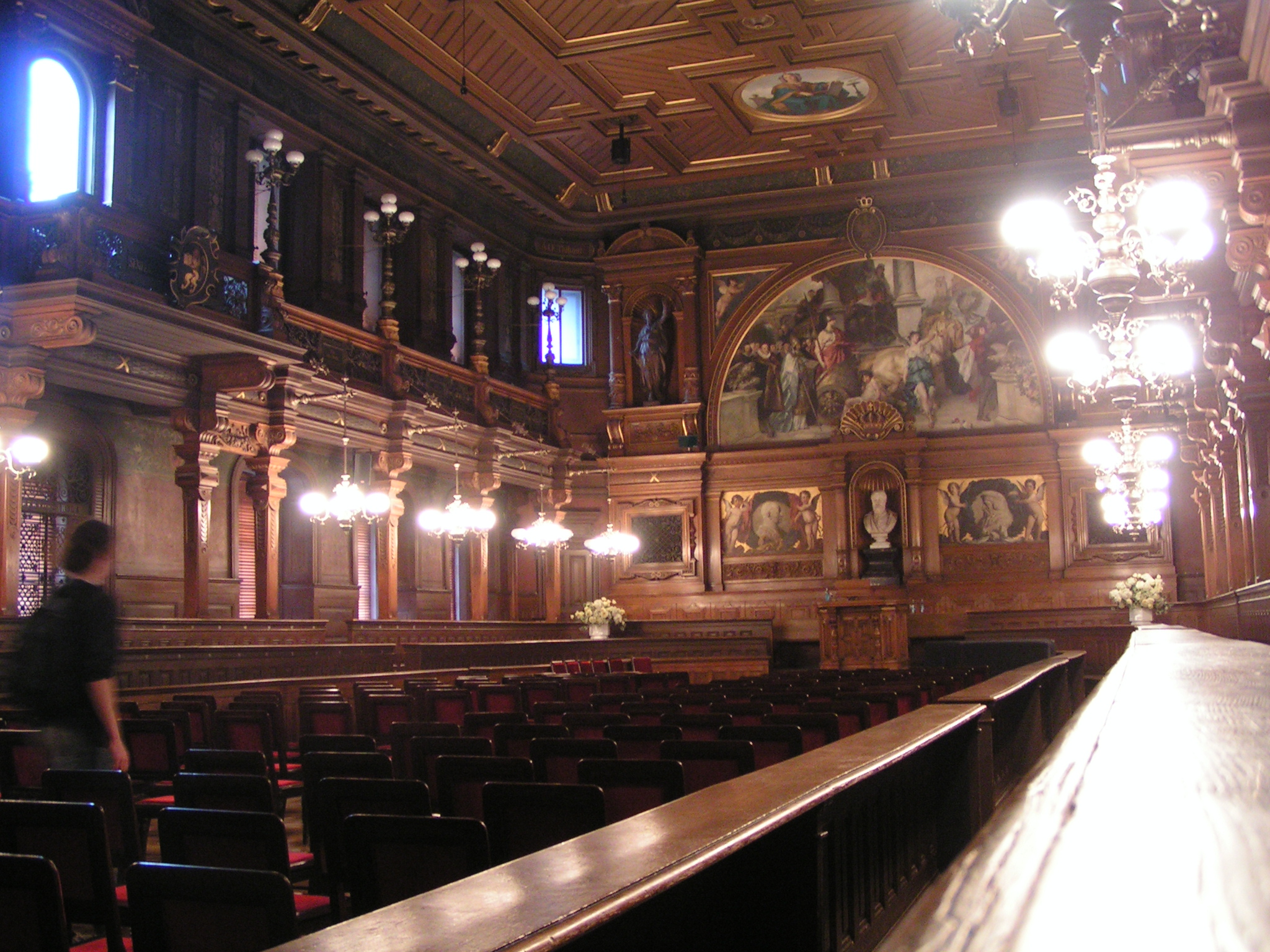
Deutsch: Uni-Heidelberg Aula
English: The University of Heidelberg, the aula |
||||||||
| Ceann-là | |||||||||
| Tùs |
Originally from de.wikipedia; description page is (was) here
|
||||||||
| Ùghdar | Stefan Kühn | ||||||||
| Cead (Ag ath-chleachdadh an fhaidhle seo) |
|

| Camera location | | View this and other nearby images on: OpenStreetMap |
|---|
Eachdraidh an fhaidhle
Briog air ceann-là/àm gus am faidhle a shealltainn mar a nochd e aig an àm sin.
| Ceann-là/Àm | Dealbhag | Meud | Cleachdaiche | Beachd | |
|---|---|---|---|---|---|
| làithreach | 00:12, 31 dhen Dùbhlachd 2004 | | 2,048 × 1,536 (1.36 MB) | Celsius~commonswiki | Image from the german Wikipedia. {{GFDL}} |
Cleachdadh an fhaidhle
Tha ceangal ris an fhaidhle seo san duilleag a leanas:
Cleachdadh fhaidhlichean uile-choitcheann
Tha na uicidhean eile a leanas a’ cleachdadh an fhaidhle seo
- Cleachdadh air af.wikipedia.org
- Cleachdadh air ar.wikipedia.org
- Cleachdadh air ast.wikipedia.org
- Cleachdadh air azb.wikipedia.org
- Cleachdadh air az.wikipedia.org
- Cleachdadh air be-tarask.wikipedia.org
- Cleachdadh air be.wikipedia.org
- Cleachdadh air bs.wikipedia.org
- Cleachdadh air ca.wikipedia.org
- Cleachdadh air de.wikipedia.org
- Cleachdadh air en.wikipedia.org
- Cleachdadh air es.wikipedia.org
- Cleachdadh air fi.wikipedia.org
- Cleachdadh air fr.wikipedia.org
- Cleachdadh air gl.wikipedia.org
- Cleachdadh air he.wikipedia.org
- Cleachdadh air hu.wikipedia.org
- Cleachdadh air hy.wikipedia.org
- Cleachdadh air id.wikipedia.org
- Cleachdadh air ja.wikipedia.org
- Cleachdadh air lt.wikipedia.org
- Cleachdadh air nl.wikipedia.org
- Cleachdadh air no.wikipedia.org
- Cleachdadh air sr.wikipedia.org
- Cleachdadh air sv.wikipedia.org
- Cleachdadh air sw.wikipedia.org
- Cleachdadh air tk.wikipedia.org