
Faidhle:Japan honshu map.svg

Size of this PNG preview of this SVG file: 413 × 373 piogsail. Dùmhlachdan-breacaidh eile: 266 × 240 piogsail | 532 × 480 piogsail | 850 × 768 piogsail | 1,134 × 1,024 piogsail | 2,268 × 2,048 piogsail.
Am faidhle tùsail (Faidhle SVG, a-rèir ainm 413 × 373 pixel, meud faidhle: 973 KB)
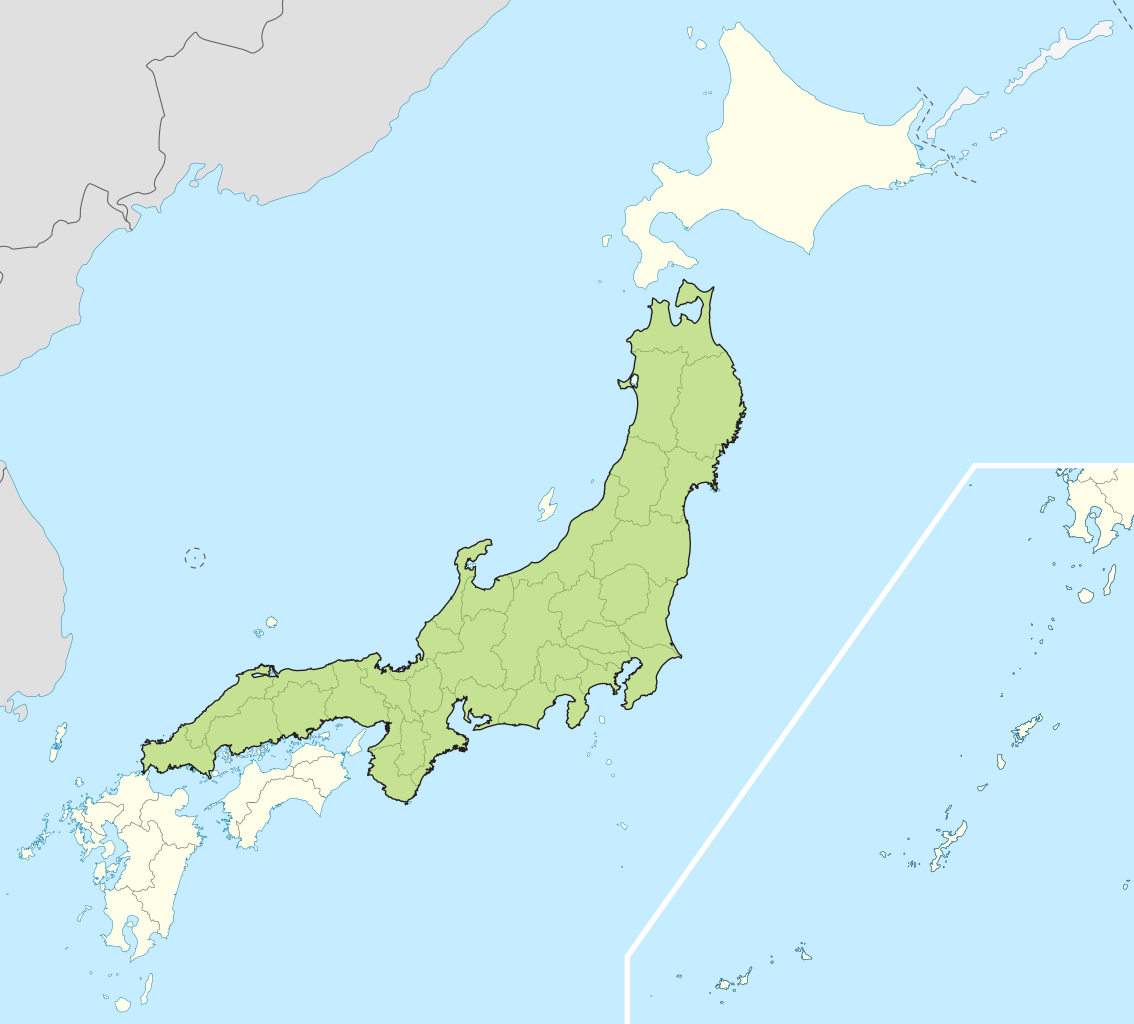
| Tuairisgeul | Small map of Honshu, Japan |
| Ceann-là | (UTC) |
| Tùs | |
| Ùghdar |
|
I, the copyright holder of this work, hereby publish it under the following licenses:
Tha am faidhle seo fo cheadachas Creative Commons Attribution-Share Alike 3.0 Unported.
- Faodaidh tu:
- a cho-roinneadh – lethbhreac a dhèanamh dhen obair, a sgaoileadh is a tar-chur
- ath-mheasgachadh – an obair atharrachadh
- Fo bhuaidh nan cumhaichean a leanas:
- urram – Feumaidh tu iomradh a thoirt air an ùghdar no an neach aig a bheil cead air, dìreach mar a thoill iad (ach chan ann air dòigh a chuireas an sùilean dhaoine gu bheil iad ag aontachadh riut no ri d’ obair).
- co-roinneadh co-ionnann – Ma dh’atharraicheas tu no ma leasaicheas tu an obair seo, ’s urrainn an tionndadh ùr fon cheadachas seo no fo cheadachas coltach ris.

|
Permission is granted to copy, distribute and/or modify this document under the terms of the GNU Free Documentation License, Version 1.2 or any later version published by the Free Software Foundation; with no Invariant Sections, no Front-Cover Texts, and no Back-Cover Texts. A copy of the license is included in the section entitled GNU Free Documentation License. |
’S urrainn dhut an ceadachas as fhearr leat a thaghadh.
Original upload log
This image is a derivative work of the following images:
- File:Japan_location_map_with_side_map_of_the_Ryukyu_Islands.svg licensed with Cc-by-sa-3.0, GFDL
- 2010-10-30T13:53:18Z NordNordWest 413x373 (948276 Bytes) Liancourts Rock boundary
- 2010-09-17T01:15:53Z Dinamik 413x373 (1638123 Bytes) medium color for disputed territories
- 2010-03-21T11:41:34Z Chumwa 413x373 (1597074 Bytes) Präfekturgrenzen bereinigt
- 2010-03-20T13:33:30Z Chumwa 413x373 (1793386 Bytes) Trennlinie zu Nebenkarte etwas verbreitert
- 2010-03-20T09:50:05Z Chumwa 413x373 (2010954 Bytes) == {{int:filedesc}} == {{Information |Description= {{de|Postionskarte von [[:de:Japan|Japan]]}} Quadratische Plattkarte. Bei Nutzung der Hauptkarte mit den Hauptinseln gelten folgende geographische Begrenzungen für die (Ges
Uploaded with derivativeFX
Eachdraidh an fhaidhle
Briog air ceann-là/àm gus am faidhle a shealltainn mar a nochd e aig an àm sin.
| Ceann-là/Àm | Dealbhag | Meud | Cleachdaiche | Beachd | |
|---|---|---|---|---|---|
| làithreach | 04:07, 2 dhen Chèitean 2011 | | 413 × 373 (973 KB) | Jkwchui | {{Information |Description=Small map of Honshu, Japan |Source=*File:Japan_location_map_with_side_map_of_the_Ryukyu_Islands.svg |Date=2011-05-02 04:05 (UTC) |Author=*File:Japan_location_map_with_side_map_of_the_Ryukyu_Islands.svg: [[:de:User:Ch |
Cleachdadh an fhaidhle
Tha ceangal ris an fhaidhle seo san duilleag a leanas:
Cleachdadh fhaidhlichean uile-choitcheann
Tha na uicidhean eile a leanas a’ cleachdadh an fhaidhle seo
- Cleachdadh air ace.wikipedia.org
- Cleachdadh air af.wikipedia.org
- Cleachdadh air als.wikipedia.org
- Cleachdadh air am.wikipedia.org
- Cleachdadh air ar.wikipedia.org
- Cleachdadh air ast.wikipedia.org
- Cleachdadh air az.wikipedia.org
- Cleachdadh air ban.wikipedia.org
- Cleachdadh air ba.wikipedia.org
- Cleachdadh air be-tarask.wikipedia.org
- Cleachdadh air be.wikipedia.org
- Cleachdadh air bg.wikipedia.org
- Cleachdadh air bm.wikipedia.org
- Cleachdadh air bs.wikipedia.org
- Cleachdadh air ca.wikipedia.org
- Cleachdadh air ceb.wikipedia.org
- Cleachdadh air diq.wikipedia.org
- Cleachdadh air en.wikipedia.org
- Cleachdadh air es.wikipedia.org
- Cleachdadh air et.wikipedia.org
- Cleachdadh air eu.wikipedia.org
- Cleachdadh air fa.wikipedia.org
- Cleachdadh air fo.wikipedia.org
- Cleachdadh air fr.wikipedia.org
- Cleachdadh air fr.wiktionary.org
- Cleachdadh air ga.wikipedia.org
- Cleachdadh air gl.wikipedia.org
- Cleachdadh air hak.wikipedia.org
- Cleachdadh air ha.wikipedia.org
- Cleachdadh air he.wikipedia.org
- Cleachdadh air hu.wikipedia.org
- Cleachdadh air hy.wikipedia.org
- Cleachdadh air ia.wikipedia.org
- Cleachdadh air id.wikipedia.org
- Cleachdadh air ie.wikipedia.org
- Cleachdadh air ilo.wikipedia.org
- Cleachdadh air io.wikipedia.org
- Cleachdadh air is.wikipedia.org
- Cleachdadh air it.wikipedia.org
- Cleachdadh air it.wikivoyage.org
- Cleachdadh air ja.wikipedia.org
- Cleachdadh air jv.wikipedia.org
- Cleachdadh air kab.wikipedia.org
- Cleachdadh air ka.wikipedia.org
- Cleachdadh air km.wikipedia.org
- Cleachdadh air ko.wikipedia.org
- Cleachdadh air ky.wikipedia.org
Seall an corr dhen chleachdadh uile-choitcheann a nithear dhen fhaidhle seo.