
Faidhle:Confini della Basilicata.png
Meud an ro-sheallaidh seo: 722 × 600 piogsail. Dùmhlachdan-breacaidh eile: 289 × 240 piogsail | 578 × 480 piogsail | 934 × 776 piogsail.
Am faidhle tùsail (934 × 776 pixel, meud an fhaidhle: 1.3 MB, seòrsa MIME: image/png)
Gearr-chunntas
| Tuairisgeul |
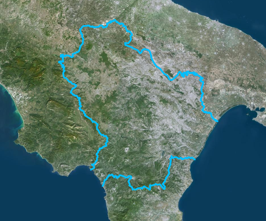
Italiano: Confini della Basilicata - Mappa di Institut géographique national |
| Ceann-là | |
| Tùs | https://www.geoportail.gouv.fr/donnees/photographies-aeriennes |
| Ùghdar | Institut National de l'information geographique et forestiere |
Ceadachadh
| This file is licensed under the Licence Ouverte 1.0 (License text, English license text).
|
Eachdraidh an fhaidhle
Briog air ceann-là/àm gus am faidhle a shealltainn mar a nochd e aig an àm sin.
| Ceann-là/Àm | Dealbhag | Meud | Cleachdaiche | Beachd | |
|---|---|---|---|---|---|
| làithreach | 13:54, 13 dhen Iuchar 2020 | | 934 × 776 (1.3 MB) | Sayatek | Uploaded a work by Institut National de l'information geographique et forestiere from https://www.geoportail.gouv.fr/donnees/photographies-aeriennes with UploadWizard |
Cleachdadh an fhaidhle
Tha ceangal ris an fhaidhle seo san duilleag a leanas:
Cleachdadh fhaidhlichean uile-choitcheann
Tha na uicidhean eile a leanas a’ cleachdadh an fhaidhle seo
- Cleachdadh air ar.wikipedia.org
- Cleachdadh air ast.wikipedia.org
- Cleachdadh air az.wikipedia.org
- Cleachdadh air ca.wikipedia.org
- Cleachdadh air cs.wikipedia.org
- Cleachdadh air cy.wikipedia.org
- Cleachdadh air de.wikivoyage.org
- Cleachdadh air diq.wikipedia.org
- Cleachdadh air fr.wikivoyage.org
- Cleachdadh air ga.wikipedia.org
- Cleachdadh air gl.wikipedia.org
- Cleachdadh air he.wikipedia.org
- Cleachdadh air hy.wikipedia.org
- Cleachdadh air ia.wikipedia.org
- Cleachdadh air id.wikipedia.org
- Cleachdadh air ilo.wikipedia.org
- Cleachdadh air it.wikipedia.org
- Cleachdadh air ka.wikipedia.org
- Cleachdadh air ku.wikipedia.org
- Cleachdadh air lld.wikipedia.org
- Cleachdadh air lmo.wikipedia.org
- Cleachdadh air mzn.wikipedia.org
- Cleachdadh air nn.wikipedia.org
- Cleachdadh air no.wikipedia.org
- Cleachdadh air oc.wikipedia.org
- Cleachdadh air pl.wikipedia.org
- Cleachdadh air ps.wikipedia.org
- Cleachdadh air pt.wikipedia.org
- Cleachdadh air ro.wikipedia.org
- Cleachdadh air ru.wikipedia.org
- Cleachdadh air sl.wikipedia.org
- Cleachdadh air sr.wikipedia.org
- Cleachdadh air tg.wikipedia.org
- Cleachdadh air tl.wikipedia.org
- Cleachdadh air tt.wikipedia.org
- Cleachdadh air vec.wikipedia.org
- Cleachdadh air vi.wikipedia.org
- Cleachdadh air www.wikidata.org