
Faidhle:Houses along the A496 on the southern side of the village of Maentwrog - geograph.org.uk - 509102.jpg
Chan eil dùmhlachd-bhreacaidh nas fhearr ri fhaighinn.
Houses_along_the_A496_on_the_southern_side_of_the_village_of_Maentwrog_-_geograph.org.uk_-_509102.jpg (640 × 438 pixel, meud an fhaidhle: 125 KB, seòrsa MIME: image/jpeg)
Gearr-chunntas
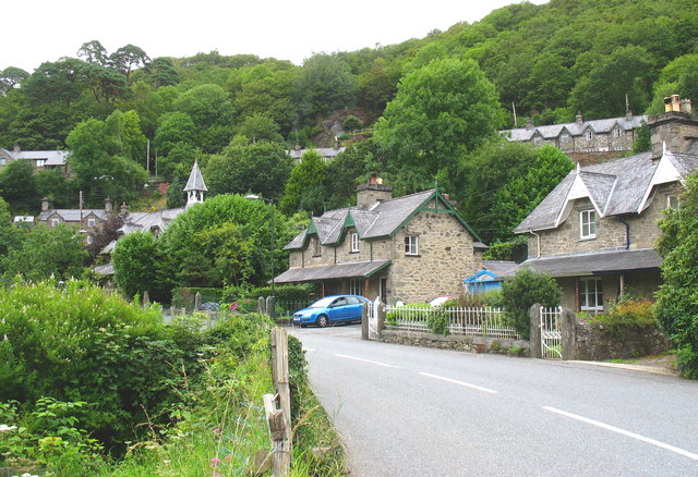
| Tuairisgeul | Houses along the A496 on the southern side of the village of Maentwrog |
| Ceann-là | |
| Tùs | From geograph.org.uk; transferred by User:Jeni using geograph_org2commons. |
| Ùghdar | Eric Jones |
| Cead (Ag ath-chleachdadh an fhaidhle seo) |
Creative Commons Attribution Share-alike license 2.0 |
| Urram (required by the license) | Eric Jones / Houses along the A496 on the southern side of the village of Maentwrog / |
| Camera location | | View this and other nearby images on: OpenStreetMap |
|---|
| Object location | | View this and other nearby images on: OpenStreetMap |
|---|
_region:GB-GBN_heading:22.00&language=gd)
Ceadachadh

|
This image was taken from the Geograph project collection. See this photograph's page on the Geograph website for the photographer's contact details. The copyright on this image is owned by Eric Jones and is licensed for reuse under the Creative Commons Attribution-ShareAlike 2.0 license.
|
This file is licensed under the Creative Commons Attribution-Share Alike 2.0 Generic license.
Urram: Eric Jones
- Faodaidh tu:
- a cho-roinneadh – lethbhreac a dhèanamh dhen obair, a sgaoileadh is a tar-chur
- ath-mheasgachadh – an obair atharrachadh
- Fo bhuaidh nan cumhaichean a leanas:
- urram – Feumaidh tu iomradh a thoirt air an ùghdar no an neach aig a bheil cead air, dìreach mar a thoill iad (ach chan ann air dòigh a chuireas an sùilean dhaoine gu bheil iad ag aontachadh riut no ri d’ obair).
- co-roinneadh co-ionnann – Ma dh’atharraicheas tu no ma leasaicheas tu an obair seo, ’s urrainn an tionndadh ùr fon cheadachas seo no fo cheadachas coltach ris.
Eachdraidh an fhaidhle
Briog air ceann-là/àm gus am faidhle a shealltainn mar a nochd e aig an àm sin.
| Ceann-là/Àm | Dealbhag | Meud | Cleachdaiche | Beachd | |
|---|---|---|---|---|---|
| làithreach | 23:38, 17 dhen Lùnastal 2009 | | 640 × 438 (125 KB) | File Upload Bot (Magnus Manske) | == Summary == {{Information |Description=Houses along the A496 on the southern side of the village of Maentwrog |Source=From [http://www.geograph.org.uk/photo/509102 geograph.org.uk]; transferd by User:Jeni using [http://toolserver.org/~magnus/geogra |
Cleachdadh an fhaidhle
Tha ceangal ris an fhaidhle seo san duilleag a leanas:
Cleachdadh fhaidhlichean uile-choitcheann
Tha na uicidhean eile a leanas a’ cleachdadh an fhaidhle seo
- Cleachdadh air kw.wikipedia.org