
Faidhle:EU location UK.png
Meud an ro-sheallaidh seo: 800 × 600 piogsail. Dùmhlachdan-breacaidh eile: 320 × 240 piogsail | 640 × 480 piogsail | 1,024 × 768 piogsail | 1,280 × 960 piogsail | 1,600 × 1,200 piogsail.
Am faidhle tùsail (1,600 × 1,200 pixel, meud an fhaidhle: 473 KB, seòrsa MIME: image/png)

|
This locator map image could be re-created using vector graphics as an SVG file. This has several advantages; see Commons:Media for cleanup for more information. If an SVG form of this image is available, please upload it and afterwards replace this template with
{{vector version available|new image name}}.
It is recommended to name the SVG file “EU location UK.svg”—then the template Vector version available (or Vva) does not need the new image name parameter. |
| Tuairisgeul |
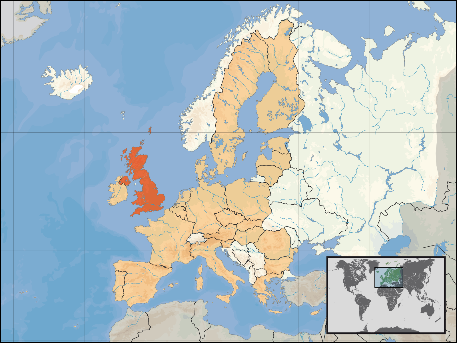
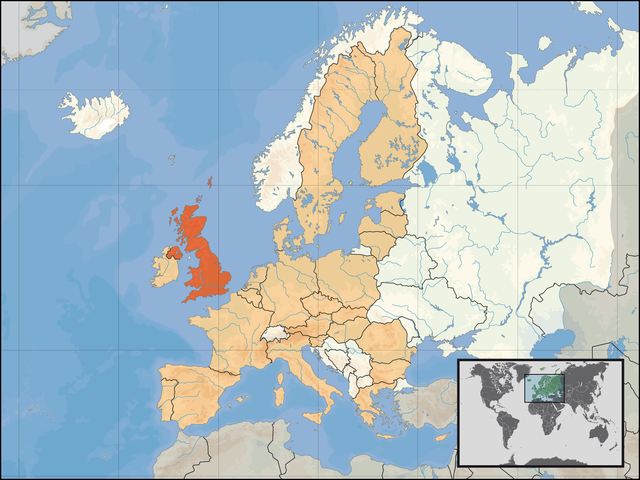
Deutsch: Lage des Vereinigten Königreichs in Europa und in der Europäischen Union am 1. Januar 2007.
English: Location of the United Kingdom within Europe and the European Union on the 1st of January 2007.
|
| Ceann-là | |
| Tùs | M’ obair fhèin |
| Ùghdar | David Liuzzo |
| Cead (Ag ath-chleachdadh an fhaidhle seo) |
This file is licensed under the Creative Commons Attribution-Share Alike 4.0 International license. Urram: David Liuzzo
|
Eachdraidh an fhaidhle
Briog air ceann-là/àm gus am faidhle a shealltainn mar a nochd e aig an àm sin.
| Ceann-là/Àm | Dealbhag | Meud | Cleachdaiche | Beachd | |
|---|---|---|---|---|---|
| làithreach | 22:55, 6 dhen Chèitean 2007 | | 1,600 × 1,200 (473 KB) | Tene~commonswiki | Optimised further using DeflOpt |
| 22:52, 22 dhen Ghearran 2007 |  | 1,600 × 1,200 (528 KB) | Tene~commonswiki | Optimised (0) | |
| 03:12, 1 dhen Fhaoilleach 2007 |  | 1,600 × 1,200 (711 KB) | David Liuzzo | {{Information| |Description= {{de|Lage des Vereinigten Königreichs in Europa und in der Europäischen Union am 1. Januar 2007 }} {{en|Location of the United Kingdom within [[Eu |
Cleachdadh an fhaidhle
Chan eil duilleag sam bith a' ceangal an-seo.
Cleachdadh fhaidhlichean uile-choitcheann
Tha na uicidhean eile a leanas a’ cleachdadh an fhaidhle seo
- Cleachdadh air de.wiktionary.org
- Cleachdadh air en.wikipedia.org
- Cleachdadh air fr.wikipedia.org
- Cleachdadh air gv.wikipedia.org
- Cleachdadh air jam.wikipedia.org
- Cleachdadh air ln.wikipedia.org
- Cleachdadh air pcd.wikipedia.org
- Cleachdadh air pl.wikiquote.org
- Cleachdadh air pl.wiktionary.org
- Cleachdadh air pnt.wikipedia.org
- Cleachdadh air pt.wikipedia.org
- Cleachdadh air rue.wikipedia.org
- Cleachdadh air sq.wikipedia.org
- Cleachdadh air tr.wiktionary.org
- Cleachdadh air zh-classical.wikipedia.org