
Faidhle:Bridge of Earn from Moncreiffe Hill - geograph.org.uk - 112167.jpg
Chan eil dùmhlachd-bhreacaidh nas fhearr ri fhaighinn.
Bridge_of_Earn_from_Moncreiffe_Hill_-_geograph.org.uk_-_112167.jpg (640 × 480 pixel, meud an fhaidhle: 85 KB, seòrsa MIME: image/jpeg)
Gearr-chunntas
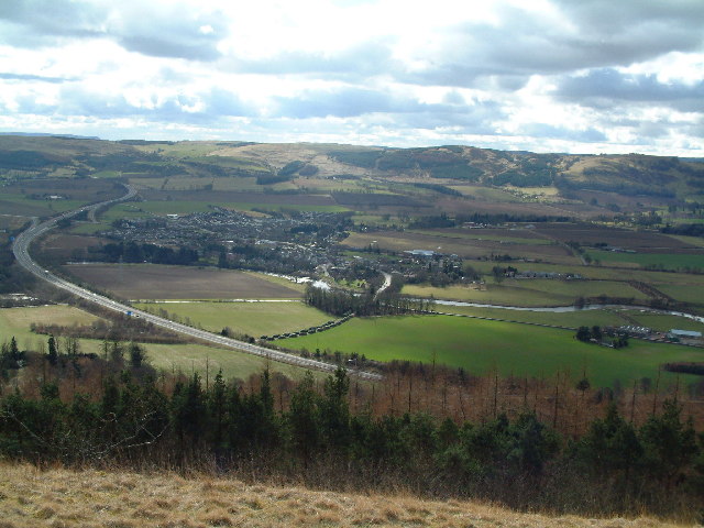
| Tuairisgeul |
English: Bridge of Earn from Moncreiffe Hill. The bridge over the river Earn from which the town gets its name is in the centre of the photograph |
| Ceann-là | |
| Tùs | From geograph.org.uk |
| Ùghdar | James Allan |
| Urram (required by the license) | James Allan / Bridge of Earn from Moncreiffe Hill / |
| Camera location | | View this and other nearby images on: OpenStreetMap |
|---|
_heading:202.00&language=gd)
| Object location | | View this and other nearby images on: OpenStreetMap |
|---|
_heading:202.00&language=gd)
Ceadachadh

|
This image was taken from the Geograph project collection. See this photograph's page on the Geograph website for the photographer's contact details. The copyright on this image is owned by James Allan and is licensed for reuse under the Creative Commons Attribution-ShareAlike 2.0 license.
|
This file is licensed under the Creative Commons Attribution-Share Alike 2.0 Generic license.
Urram: James Allan
- Faodaidh tu:
- a cho-roinneadh – lethbhreac a dhèanamh dhen obair, a sgaoileadh is a tar-chur
- ath-mheasgachadh – an obair atharrachadh
- Fo bhuaidh nan cumhaichean a leanas:
- urram – Feumaidh tu iomradh a thoirt air an ùghdar no an neach aig a bheil cead air, dìreach mar a thoill iad (ach chan ann air dòigh a chuireas an sùilean dhaoine gu bheil iad ag aontachadh riut no ri d’ obair).
- co-roinneadh co-ionnann – Ma dh’atharraicheas tu no ma leasaicheas tu an obair seo, ’s urrainn an tionndadh ùr fon cheadachas seo no fo cheadachas coltach ris.
- Remove redundant categories and try to put this image in the most specific category/categories
- Remove this template
- The location categories are based on information from this geonames tool and this OpenStreetMap tool combined with a database. You can also have a look at this tool from mysociety.
- The topic category from Geograph was Bridge (find similar images at Geograph)
Eachdraidh an fhaidhle
Briog air ceann-là/àm gus am faidhle a shealltainn mar a nochd e aig an àm sin.
| Ceann-là/Àm | Dealbhag | Meud | Cleachdaiche | Beachd | |
|---|---|---|---|---|---|
| làithreach | 00:48, 31 dhen Fhaoilleach 2010 | | 640 × 480 (85 KB) | GeographBot | == {{int:filedesc}} == {{Information |description={{en|1=Bridge of Earn from Moncreiffe Hill. The bridge over the river Earn from which the town gets its name is in the centre of the photograph}} |date=2004-03-22 |source=From [http://www.geograph.org.uk/p |
Cleachdadh an fhaidhle
Tha ceangal ris an fhaidhle seo san duilleag a leanas:
Cleachdadh fhaidhlichean uile-choitcheann
Tha na uicidhean eile a leanas a’ cleachdadh an fhaidhle seo
- Cleachdadh air ceb.wikipedia.org
- Cleachdadh air cy.wikipedia.org
- Cleachdadh air en.wikipedia.org
- Cleachdadh air es.wikipedia.org
- Cleachdadh air eu.wikipedia.org
- Cleachdadh air fa.wikipedia.org
- Cleachdadh air ga.wikipedia.org
- Cleachdadh air it.wikipedia.org
- Cleachdadh air nl.wikipedia.org
- Cleachdadh air sco.wikipedia.org
- Cleachdadh air sv.wikipedia.org
- Cleachdadh air www.wikidata.org